Note
Go to the end to download the full example code.
Plotting the trace data used as input in fractopo
Data is loaded into fractopo using geopandas which can load from
a wide variety of sources.
Here we load data from the internet from the fractopo GitHub repository.
# Import matplotlib for plotting
import matplotlib.pyplot as plt
from example_data import KB11_NETWORK

# Name the dataset
name = "KB11"
Plotting the loaded data
# Initialize the figure and ax in which data is plotted
fig, ax = plt.subplots(figsize=(9, 9))
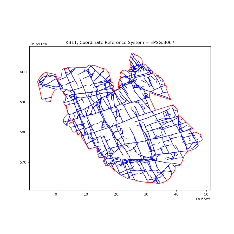
# Plot the loaded trace dataset consisting of fracture traces.
KB11_NETWORK.trace_gdf.plot(ax=ax, color="blue")
# Plot the loaded area dataset that consists of a single polygon
# that delineates the traces.
KB11_NETWORK.area_gdf.boundary.plot(ax=ax, color="red")
# Give the figure a title
ax.set_title(f"{name}, Coordinate Reference System = {KB11_NETWORK.trace_gdf.crs}")
Text(0.5, 1.0, 'KB11, Coordinate Reference System = EPSG:3067')
Total running time of the script: (0 minutes 0.374 seconds)